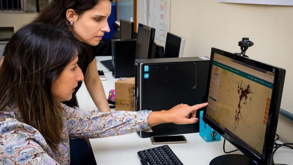
AI monitors fires from photos taken from space

Meteorologist Renata Libonati, researcher at UFRJ (Federal University of Rio de Janeiro), created Alarmes. Through AI (artificial intelligence), this platform monitors forest fires on a daily basis, based on images captured by satellite.
From the outset, the project seeks to solve the difficulties faced by organizations monitoring and fighting forest fires in Brazil. But he also supports Renata’s position on the non-detachment of the public university from the reality of the country.
How the AI tool works

The alarms have become a tool for monitoring fires, carried out in Lasa (Environmental Satellite Applications Laboratory), coordinated by the researcher. It combines satellite imagery, hot spots, and AI into a monitoring model that speeds up firefighting.
The satellite can observe several characteristics of forest fires, including the area burned. Until recently, it took months to get this information (…) If I quickly know how much and where it has already burned [numa ocorrência]I can deploy my combat contingent elsewhere.
Renata Libonati, UFRJ researcher, in an interview with Agência Brasil
According to Renata, the platform offers near real-time information. The processing, which indicates which areas the fires started from, takes place 12 hours after the passage of the satellite.
This was possible through the combination of deep machine learning, the use of images from NASA satellites, the most recently launched, with information from hot spots. So we’ve developed an algorithm with this machine learning that enables this processing, providing information every day about the progress of these areas.
Renata Libonati, UFRJ researcher, in an interview with Agência Brasil
Project trajectory

In the beginning, the centerpiece of this AI project was the Cerrado. However, when those fires erupted in 2020 in the Pantanal, the researcher’s team rallied to provide insight into the biome. And this information was crucial to the decision-making process during the fires, according to Renata.
Since 2020, information on forest fires has reached the competent bodies in two ways. First, the lab makes them available for use by institutions in their information systems. Secondly, the team developed a website [https://alarmes.lasa.ufrj.br/] disseminate this information to the company.
Nowadays, the platform serves the Amazon, Pantanal and Cerrado. Not just in the context of the biome, but with information at lower levels. For example, municipal levels, conservation units and indigenous lands.
This is basically 75% of the Brazilian territory monitored daily, in all these locations, providing this information in almost real time. We also monitor the binational wetland, with information from Bolivia and Paraguay.
Renata Libonati, UFRJ researcher, in an interview with Agência Brasil
With information from Brazil agency
Presentation image: Mayke Toscano/Secom-MT / editing: Pedro Spadoni/Olhar Digital
The post AI monitor forest fires from photos taken from space first appeared on Olhar Digital.
Source: Olhar Digital
Leave a Reply